Página de inicio / Noticias /

Storm bearing cold front pushes east while tropical threat increases

09:00 AM
23 de septiembre de 2024

Breakfast Brief
Front pushes east, active tropics

A front will bring showers and storms from the Plains to the Great Lakes, and summer-like heat will stick around for the Southwest.

A cold front stretching from Texas to the Great Lakes is advancing eastward today, bringing showers and thunderstorms from Northeast Texas through the interior Northeast. The heaviest rainfall is expected over the Ohio Valley and Midwest, with localized flash flooding being the primary concern. The greatest risk for thunderstorms will be concentrated in the Lower Midwest and the eastern Ohio Valley.

This day in weather history

On this day in 1984- A significant early-season snowstorm impacted northwest South Dakota, bringing over a foot of snow to some locations. Camp Crook in Harding County reported an impressive 14 inches of snow, while other areas like Harding and Perkins Counties experienced between six and twelve inches.

As this front moves through, it will replace the unseasonably warm air mass currently in place with cooler, more typical autumn temperatures across the Plains and Midwest. By Tuesday morning, temperatures are forecast to drop into the 40s across the Upper Midwest, with 50s and 60s expected in the Central Plains.

The TemperatureRadar still shows warmer-than-average temperatures for the West, with some low-lying desert areas reaching the 100s today. The Northeast will see highs in the 60s and some spots into the 70s, while the 80s and 90s are in play across much of the Southeast.

Tropical update:

This week, our focus shifts to the tropics as models continue to depict a tropical system developing in the eastern Gulf of Mexico or the western Caribbean. A tropical depression or storm is likely within the next 48 hours, and the next name on the list is Helene. This system will likely have a northward motion, putting Gulf Coast states at risk. We will continue to monitor this closely.

News we are covering today

  • There is a high chance of tropical development

Did you miss these?

Recipe for wildfiressaber más
Auroras across the Northern U.S.saber más

App news & updates:

Hurricane season in the Atlantic doesn't end until Nov. 30. Are your hurricane alerts on? Check here.

Federico Di Catarina
Noticias destacadas
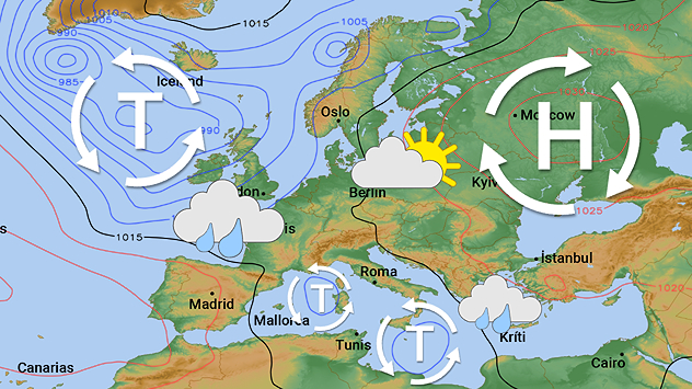
Mapa meteorológico europeo con zonas de baja presión, zonas de alta presión y símbolos de nubes/lluvia. Europa Central parcialmente despejada, en el oeste y el sur variable.
sábado, 6 de diciembre de 2025

Alto contra bajo

La lluvia se distribuye de forma desigual en Europa
rjukan-mirrors
sábado, 13 de diciembre de 2025

En el fondo de un valle

Una ciudad que utiliza espejos para aprovechar la luz solar
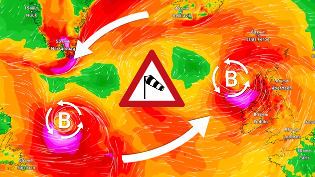
Varias borrascas circulan sobre el Atlántico.
lunes, 8 de diciembre de 2025

Situación actual

Tormentas bailando sobre el Atlántico
Más noticias
Te puede interesar
estrellas fugaces
jueves, 11 de diciembre de 2025

Dónde y cuándo

La lluvia de meteoros Gemínidas alcanza su punto álgido
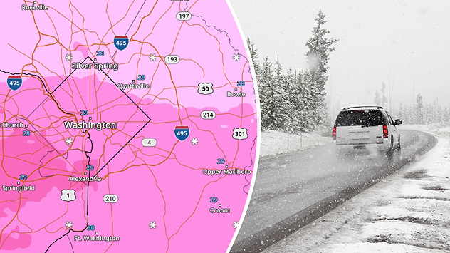
El clima invernal afecta a Washington D. C. en el WeatherRadar.
viernes, 12 de diciembre de 2025

Nieve, aguanieve o hielo

Cómo las temperaturas atmosféricas determinan las precipitaciones invernales
Observando dos sistemas
lunes, 24 de noviembre de 2025

Sobrevivir al caos

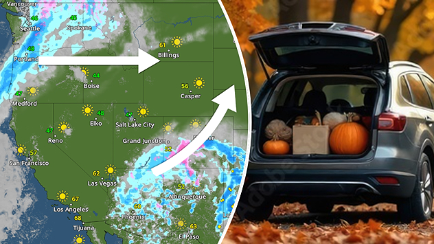
Comienza la semana de Acción de Gracias
Todas las noticias
Weather & Radar

Tiempo y Radar también está disponible en

Google Play StoreApp Store

Compañía

Contacto Protección de datos Aviso legal Declaración de accesibilidad

Servicios

Subir imagen

Redes sociales

instagramyouTube