Página de inicio / Artículos recomendados /

Major Hurricane Beryl - Jamaica faces dangerous storm surge

02:44 PM
3 de julio de 2024

Major Hurricane Beryl
Jamaica faces dangerous storm surge

WeatherRadar as Category 4 Beryl inches closer to Jamaica Wednesday.WeatherRadar as Category 4 Beryl inches closer to Jamaica Wednesday.

Beryl’s force arrives in Jamaica today causing a life-threatening storm surge. The system battles dry air and rough terrain, and the intensity forecast remains highly uncertain for the Yucatán Peninsula and beyond.

Ajustes de contenido externo

Datos

Major Hurricane Beryl is still a category 4 storm quickly approaching Jamaica, where it should make landfall on Wednesday. It is moving west-northwest at 20 mph and is expected to remain a major hurricane at the same speed and general direction as it moves across Jamaica on Wednesday and the Cayman Islands through Thursday. By Friday it should reach the Yucatán Peninsula.

The big questions remain: How strong will it be when it arrives in Southeast Mexico and what will happen after it emerges over the Gulf of Mexico early Saturday?

Beryl will battle with dry air between Wednesday and Friday, and with some of Jamacia's high terrain. But warm waters, running about 1C above average, continue to serve as prime fuel for this system to continue to be strong. This is why we urge residents and visitors along the southeastern coast of the Yucatán Peninsula to please prepare for at least a category 3 hurricane, one category above what's forecasted to impact (under Wednesday's forecast)Everyone should be in place by Thursday night in Southeast Mexico.

Many residents are asking about a possible U.S. strike early next week. As of now, there is high uncertainty about the track. We must wait to see what conditions will be in place as this system exits the Caribbean and the Yucatán Peninsula. It is clear now that the system will likely become larger, which could bring storm surge along the Texas Coast even if it stays along a Mexican track for landfall. As of now, the heaviest rain is slated for South Texas, but remember there will be changes. Please check back for more information in the coming days.

Irene Sans
Noticias destacadas
viernes, 15 de agosto de 2025

Situación crítica

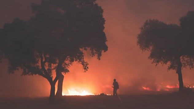
España arde: situación actual y motivos
jueves, 21 de agosto de 2025

Calles con granizo

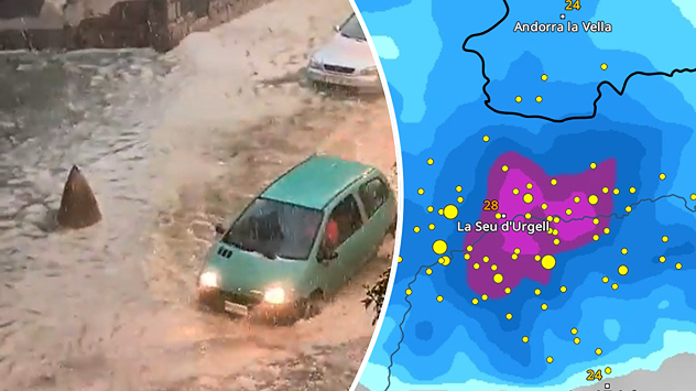
Video: tormentas intensas en Cataluña
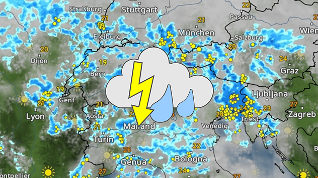
Mapa meteorológico con chubascos y tormentas sobre los Alpes, muchos símbolos de rayos sobre el norte de Italia, el sur de Austria y Eslovenia, temperaturas entre 19 y 24 °C en general.
lunes, 18 de agosto de 2025

Turistas con mala suerte

El tiempo se vuelve desagradable en los Alpes
Más noticias
Te puede interesar
heat
martes, 5 de agosto de 2025

Consejos de seguridad

Las muertes por calor son prevenibles
jueves, 7 de agosto de 2025

Consejos, herramientas

Listo para una tormenta o huracán
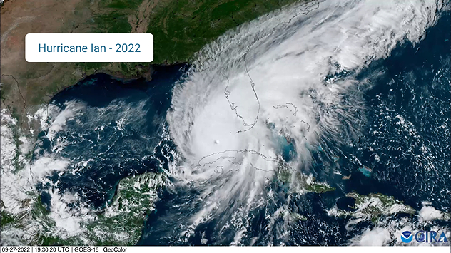
Hurricane Ian (2022) satellite imagery before SWFL landfall.
domingo, 17 de agosto de 2025

Temporada de huracanes

Tres percepciones erróneas comunes
Todas las noticias
Weather & Radar

es.weatherandradar.com

instagramyouTubeContacto
Protección de datos | Aviso legal | Declaración de accesibilidad